Contour Lines Tell a Story of Changing Ground
Contour lines reveal elevation and land shape, helping you compare slopes, ridges, hollows, and the terrain a county-map route crosses before you set out.
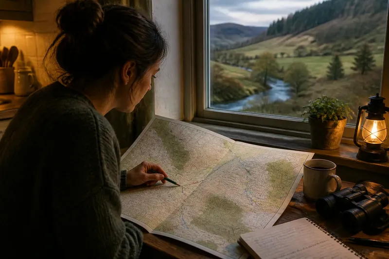
You unfold a county map beside a kitchen window and find a footpath crossing an empty patch between a stream and a wooded ridge. The contour lines make the route less mysterious: they show where the ground rises, falls, and folds between those familiar features.
Contour lines connect places at the same elevation. Their shapes and spacing suggest slopes, shoulders, hollows, and summits, so the useful question is not only how high the land is but how its shape changes along the route.
Reading contour lines
Each contour line marks a particular elevation above the map’s reference level. Its value is printed on selected lines, and the map key states the contour interval—the elevation difference between adjacent lines.
That interval matters when comparing slopes. With a constant interval, several closely packed lines indicate a larger climb over a short horizontal distance than the same number of widely spaced lines. A map with a smaller interval can show subtler landforms; a larger one gives a broader picture.
Contours usually form closed loops, although a loop may continue beyond the map edge. A set of loops that rises toward its center often marks a hill or summit. Check the printed elevations and nearby features; the outline alone does not tell you what the place is called.
Contour lines and slope
Contour spacing is a visual cue to steepness. Lines close together indicate that elevation changes quickly across the ground; lines farther apart indicate a gentler slope or a more gradual change in height.
Even spacing can suggest a fairly uniform slope. If lines bunch together and then spread apart, the slope changes character: a sharper bank may give way to a broad shoulder, for example. The contours describe the land’s profile, not its surface. Grass, loose stone, wet clay, and dense scrub can make the same mapped slope feel quite different.
Very close lines may merge into an almost solid band at the map’s scale. That visual limit does not mean the ground forms a sheer wall. Check nearby gaps, streams, and changes in contour direction before deciding how the slope is shaped.
Ridges and valleys
Contours that bend into a series of pointed shapes often mark a ridge or spur extending from higher ground. The points generally face downhill. A ridge may offer a gradual approach along its back while dropping more sharply from one or both sides.
Valleys and stream channels produce a different pattern. Contours usually bend uphill as they cross a drainage line, forming V shapes whose points face higher ground. A stream may lie near the valley floor, but a contour map may omit small channels and wet patches.
These shapes help compare possible lines across a hillside. A route following a ridge may avoid repeated gully crossings; one cutting across several V-shaped bends may cross drainage after drainage. Neither pattern is automatically preferable. The map shows where the ground changes direction and where water is likely to gather.
A fictional county walk
Imagine Mara, a fictional map reader, studying an invented county map before a walk from Alder Farm to an invented picnic spot called Lowmere Pool. The path symbol appears to cross open ground, but the contours show a climb from the farm, a narrow ridge, and a descent toward the pool. She checks the contour interval in the map key before comparing the spacing.
Near Alder Farm, the contours are broad and widely separated, so Mara reads the rise as gradual rather than level. Farther on, the lines tighten across a short section, then bend into repeated V shapes around a stream valley. She marks the likely sequence as a steeper traverse followed by a descent into drainage country.
At the ridge, elongated loops suggest a spur rather than a rounded summit. Mara traces the proposed path, which stays near the ridge’s spine before turning toward Lowmere Pool, then compares it with a faint alternative cutting diagonally across the V-shaped contours. The alternative looks shorter on the map but crosses several folds in the land.
For this imagined outing, Mara chooses the ridge-side path because its main climb is easier to anticipate and the map shows fewer drainage crossings. That choice does not settle questions about access or surface conditions. If the map scale or path marking is unclear, she treats those as separate uncertainties rather than asking the contours to answer them.
Questions about contours?
What do close contour lines mean?
Close lines indicate a rapid change in elevation over a short horizontal distance, so the slope is steeper than where the lines spread apart. They do not show whether the surface is rocky, slippery, or obstructed.
How can I spot a valley?
Look for contours bending into V shapes as they cross lower ground, with their points directed uphill. A stream may follow the valley floor, but small watercourses may not appear on the map.
What does a closed contour show?
A closed loop often marks a hill or another enclosed rise when successive contour elevations increase toward the center. Check the printed values and nearby features instead of relying on the outline alone.
Can contours show a route’s difficulty?
They help you anticipate climbs, descents, and changes in slope, but they cannot describe every surface condition or obstacle. Read them alongside route symbols and other relevant map information.
Limits of the map
Contour lines simplify continuous ground into intervals. A small rise between two lines may not be drawn, and a narrow bank can be blurred by the map’s scale. The space between contours is not empty; it contains the terrain represented indirectly.
Direction matters, too. The contours show where elevation changes, while a path’s position relative to them indicates whether it follows a slope, crosses it, or climbs toward higher ground. Orienting the map to its surroundings and checking streams, roads, and named features can help connect that pattern to the landscape.
Before setting out, trace the route with a finger and pause at each tight cluster, V-shaped bend, and ridge. Those points show where the route’s demands are most likely to change. Contour lines are most useful when read as part of the journey, not as decoration around it.